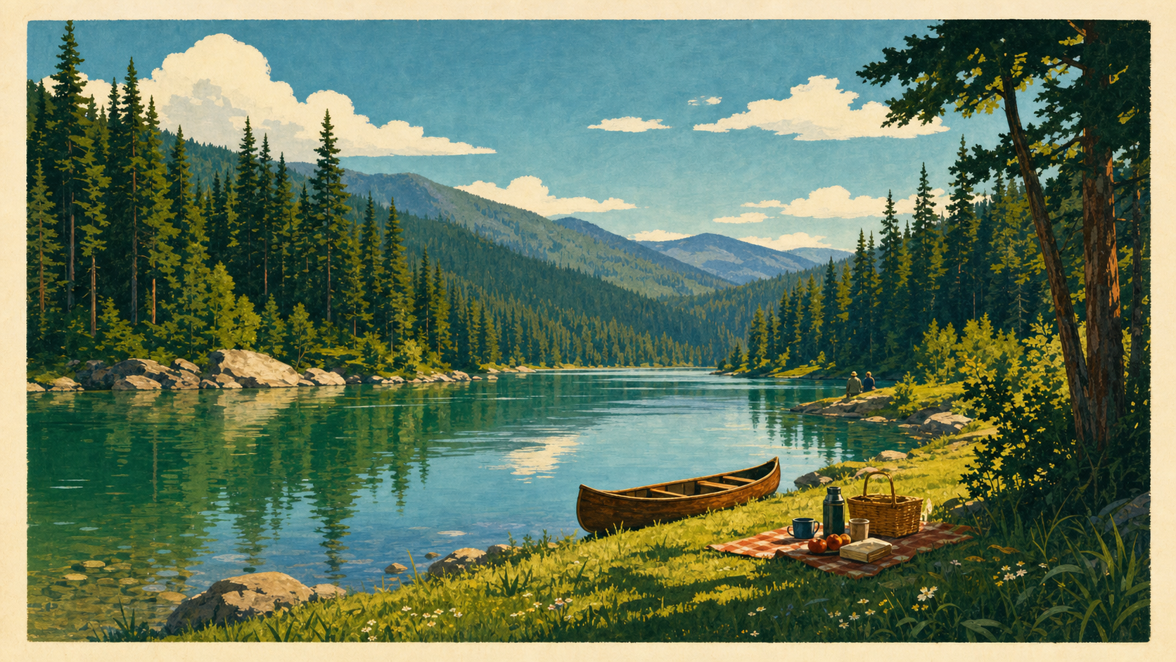
Where to Swim, Boat, and Fish Near St. Maries, Idaho
A guest's guide to the St. Joe River and nearby lakes — verified public access points, boat launches, fishing rules, and honest water-safety guidance.
St. Maries sits at the meeting of two rivers, and the St. Joe is the reason most people come. It's a genuinely beautiful river — clear enough that the Forest Service notes you can see the bottom through fifteen feet of water — and it supports boating, fishing, paddling, and river days from developed public access points within a short drive of town.
Two things to understand before you plan. There is no supervised or lifeguarded swimming area near St. Maries. And legal public access matters here — much of the riverbank is private, and the developed Forest Service and state facilities are where you should be. Everything below is built around access points a land manager actually documents.
Quick reference
| Activity | Where | Access type | Season | Skill level | Planning note |
|---|---|---|---|---|---|
| Motorised boating | Shadowy St. Joe Campground | USFS boat ramp and docks | Summer | Any | Small launch fee for campers; can run upriver to St. Joe City |
| Boating / paddling | Heyburn State Park lakes | State park; rentals in season | May–Oct | Beginner-friendly on lakes | Check current closures at Chatcolet |
| Boating | St. Maries Aqua Park | City ramp | Summer | Any | Confirm current rules with the City |
| River day / picnic | Shadowy St. Joe | USFS day use | Jun–Sept | Any | No beach — docks and grass banks |
| Paddling, calm water | Lower St. Joe, Chatcolet, Benewah, Hidden lakes | Public | Summer | Beginner–intermediate | Wind picks up on open lake water |
| Whitewater | Upper St. Joe | Public | Spring | Advanced only | Class II–IV; guided trips exist |
| Fishing | Throughout | Public | See IDFG | Any | Current Idaho licence required |
Boating and launches
Shadowy St. Joe Campground is the main river access, 10.6 miles east of St. Maries on St. Joe River Road (Forest Highway 50). It's a Forest Service site, and day use is welcome alongside camping.
The facilities are unusually good for a river campground, following a 2023 redesign funded through the Great American Outdoors Act: fourteen fully accessible campsites with electrical hookups, picnic tables and fire rings, vault toilets, potable piped water, ample parking with trailer space, a boat ramp and docks, and a group picnic shelter seating around forty. Some sites are reservable through Recreation.gov; campers using the boat launch pay a small additional fee.
The campground sits at about 2,100 feet on a slack-water section of the river — that's why the water here is calm enough for general recreation. From the ramp, motorised boats can run upriver toward St. Joe City.
Heyburn State Park gives you lake boating rather than river boating. The park holds Chatcolet, Benewah, and Hidden lakes, with the St. Joe running along its eastern edge, and Idaho Parks and Recreation lists kayak, canoe, and paddleboard rentals in season. Day-use hours are 7 a.m. to 10 p.m. under state code, and Idaho charges a per-vehicle entry fee generally in the $7–$14 range.
Important: IDPR has posted work affecting parking and boat launch access at Chatcolet. Check the official park page for current status before you drive out with a boat.
In town, the St. Maries Chamber notes boat ramps including one at St. Maries Aqua Park, and Cherry Bend Boaters Park as a picnic location. Check with the City of St. Maries for current rules, fees, and availability.
Swimming and wading
Here is the honest version.
There is no designated, supervised, or lifeguarded swimming area near St. Maries. The Forest Service states that the docks and ramp at Shadowy St. Joe allow for river access, fishing, and swimming — which means swimming is permitted there, not that it is supervised or that conditions are managed for it. The same page notes plainly that there is no beach.
People do swim in the St. Joe, and it can be a wonderful thing to do. It also demands respect:
- The water is cold, even in August. Cold-water shock is a real risk for anyone entering suddenly.
- Current changes. River flow responds to rainfall and upstream conditions and can be markedly different week to week. A stretch that was gentle in July may not be after a storm.
- Depth changes, and submerged wood is common in a river that has carried logs for a century.
- Nobody is watching. No lifeguards, no safety patrol, no posted conditions.
If you swim:
- Wear a life jacket. Especially children — near the water, not just on it.
- One adult whose only job is watching. Not cooking, not on a phone.
- Don't swim alone, and don't swim at night.
- Enter slowly. Let your body adjust.
- Never jump or dive into water you haven't checked.
- Stay at developed public access points. Don't cross private land looking for a better spot.
- Check conditions first. The St. Joe Ranger District at 222 S. 7th St. in St. Maries, (208) 245-2531, is open weekday mornings and afternoons and is the best local source.
For families, our family guide to St. Maries covers how people actually structure a river day with children.
Fishing
The St. Joe has a real reputation among anglers, and the upper river is the draw. Species reported in the system include westslope cutthroat trout, mountain whitefish, rainbow trout, brook trout, and bull trout.
This guide states no seasons, limits, size restrictions, gear rules, or open waters. Those change year to year and vary by stretch of river, and getting them wrong has legal consequences.
What you need to do:
- Buy a current Idaho fishing licence. Required for residents and non-residents.
- Read the current Idaho Fish and Game regulations for the specific water you intend to fish. Rules differ between the lower river near town, the upper river, and the lakes at Heyburn.
- Know the bull trout rules. Bull trout are subject to particular protections in Idaho. Learn to identify them and understand the current requirements before you fish.
- Check for special regulations on the Wild and Scenic segments.
Idaho Fish and Game is the only authority for any of this. Nothing on this page substitutes for their current rulebook.
Paddling and floating
The lower St. Joe near town and around Heyburn is broad and slow — good beginner-to-intermediate water, and the lakes at Heyburn are calmer still. Chatcolet, Benewah, and Hidden lakes are pleasant paddling, though open water catches wind in the afternoon, so plan to be off it before the breeze picks up.
Upstream is a different river entirely. The upper St. Joe carries Class II–IV whitewater in spring, which is advanced territory requiring real skill, appropriate craft, and current knowledge of flow. Regional sources note at least three runs in that range. Guided trips are offered by outfitters based in the area. If you don't already know how to read whitewater, go with a guide or don't go.
Note also that <cite>66.3 miles of the St. Joe carry federal Wild and Scenic designation — a 26.6-mile wild segment from St. Joe Lake down to Spruce Tree Campground, and a 39.7-mile recreational segment from there to Avery</cite>. Access, camping, and use rules can differ on designated segments; check with the ranger district.
A note on tubing and casual floats: people do float sections of the lower river. We're not publishing a specific put-in-to-take-out route, because we can't verify one against a land-manager source, and an unverified float route is exactly the kind of advice that gets someone in trouble. Ask at the ranger district, or go with someone who knows the river.
A river day from 735 Elm Drive
A simple, workable plan:
Morning. Coffee in town — Shift & Grind and Whistle Stop both open early. Groceries or a packed lunch; Grub Box does sandwiches to go on weekdays.
Late morning. Drive out St. Joe River Road to Shadowy St. Joe. It's an easy, scenic run along the water.
Midday. Picnic under the shelter or on the grass. Get on the water if you've brought a boat, or just spend the afternoon by the river.
Mid-afternoon. Head back. Kitchens in St. Maries close early — assume last orders around 8 p.m. — so either eat in town in good time or cook at the house.
Before you leave the house: check conditions, tell someone your plan, pack life jackets, and download maps. Cell service drops off quickly outside town.
Safety and know before you go
- Conditions change fast. Water level, temperature, current, and weather are all variable. What you read here is not a condition report.
- Fire restrictions are common in late summer and can affect campfires and charcoal at river sites. Check with the ranger district.
- Cell service is unreliable to nonexistent outside town. Download offline maps and tell someone where you're going.
- Use developed public access. Much of the riverbank is private property. The Forest Service and state facilities named here are the places to be.
- Fishing requires a current Idaho licence and compliance with all Idaho Fish and Game rules.
- Life jackets. Idaho has boating requirements, and beyond the law, they're the single most effective thing you can do.
- Alcohol and water don't mix, on a boat or on a bank.
Official sources to check before you go:
- St. Joe Ranger District, 222 S. 7th St. Suite 1, St. Maries — (208) 245-2531 — river access, campgrounds, forest roads, fire restrictions.
- Idaho Parks and Recreation — Heyburn State Park status and closures.
- Idaho Fish and Game — all fishing licensing, seasons, and rules.
- City of St. Maries — city park and boat ramp rules.
Frequently asked questions
Where can I swim near St. Maries, Idaho? There is no designated or lifeguarded swimming area near St. Maries. The Forest Service notes that swimming is permitted at Shadowy St. Joe Campground, 10.6 miles east of town, where docks and a boat ramp provide river access — but it also states there is no beach there, and no one supervises conditions. If you swim, treat it as unsupervised open water: life jackets, an adult watching, and a check on conditions first.
Where is the nearest boat launch to St. Maries? Shadowy St. Joe Campground has a Forest Service boat ramp and docks 10.6 miles up St. Joe River Road, with parking and trailer space; from there motorised boats can run upriver toward St. Joe City. The St. Maries Chamber also lists a ramp at St. Maries Aqua Park in town. Heyburn State Park offers lake access, though you should check IDPR for current launch and parking closures at Chatcolet.
Do I need a fishing licence for the St. Joe River? Yes. A current Idaho fishing licence is required for residents and non-residents, and you must follow Idaho Fish and Game regulations for the specific water you're fishing. Rules vary between river stretches and lakes and change from year to year. Check the current IDFG rulebook before you fish — this includes knowing the bull trout regulations, since bull trout are present and specially protected.
Is the St. Joe River safe for kids? It's a river, not a pool, and there's no supervision anywhere near St. Maries. Families do have good river days here, but it requires life jackets on children near the water, one adult whose only job is watching, and awareness that the water is cold and the current changes with upstream conditions. The slack-water section at Shadowy St. Joe is the calmest developed access nearby.
Can I raft or tube the St. Joe River? The lower river below town is slow and broad and does see rafting, drift boating, canoeing, and tubing. The upper river is a different proposition — Class II–IV whitewater in spring that requires advanced skills or a guide. We don't publish specific float routes here because we can't verify them against an official source; ask at the St. Joe Ranger District, (208) 245-2531, before floating a stretch you don't know.
What fish are in the St. Joe River? Species reported in the system include westslope cutthroat trout, mountain whitefish, rainbow trout, brook trout, and bull trout. The upper river in particular has a strong reputation among fly anglers. For which species you may keep, when, where, and in what numbers, consult Idaho Fish and Game — those rules are theirs to set and they change.
735 Elm Drive is a short drive from the St. Joe River Road, with space to rinse and dry gear at the end of the day. Our weekend guide and seasonal guide cover how river conditions shape the rest of a trip here.